Triglav is the highest mountain in Slovenia rising to 2864m. This peak is located in the Julian Alps within the country’s only national park – Triglav National Park.
“Nisi SLOVENC, če nisi bil na Triglavu.” (Translation: You aren’t a true Slovenian if you haven’t stood on the summit of Triglav.)
The name Triglav means three heads as from certain angles the mountain appears to have three distinct peaks. In ancient Slavic mythology Triglav was considered the throne of a three headed God who ruled the sky, the earth and the underworld. Today, the country’s highest peak is a national symbol featured on both the Slovenian flag and the coat of arms. For many Slovenians climbing Triglav is a symbolic rite of passage.
Climbing Triglav: General Information
- 📍 Location: Trigal National Park, Slovenia
| ⛰️ Highest Point | ⏰ Duration | 📏 Total Distance | 📈 Elevation Gain |
|---|---|---|---|
| Triglav 2864 m | 9-10 h | 22 km | 2011 m |
- 🍁 Season: Mid-June to mid-October.
- 🪢 Gear & Preparation: This is a via ferrata route so you will need via ferrata gear. Read more about it, as well as via ferrata difficulty levels, in the following article: Via Ferrata: What You Need to Know Before Starting.
Climbing Triglav: Stages and Progression
Many paths lead to Triglav – some easier, some more technical, but all of them are long. Usually, it’s recommended to split the routes into two days, but that didn’t seem necessary to me. I didn’t have much time in Slovenia and I’m not afraid of long distances, so I planned a one day trip. Since I was heading out on this adventure alone I decided to take the easiest route starting in the Krma Valley (Dolina Krma).
Accommodation
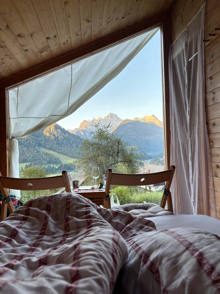
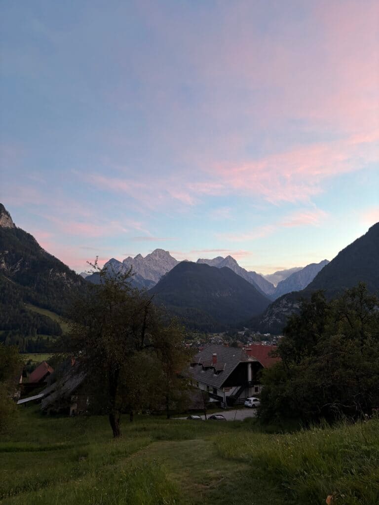
The town closest to the Krma Valley is Mojstrana which is where I looked for a place to stay using Booking.com. I quickly found a cheap and incredibly beautiful spot: Mountain View Glamping.
These are small wooden huts with a glass facade facing directly toward Triglav National Park. On a clear day you can see Triglav itself from your bed. Each hut has a terrace and outdoor furniture with communal areas for grilling nearby. The bathrooms are private but located in a separate building about 50 m away. There is no electricity in the huts but guests are provided with rechargeable lamps and power banks. If those aren’t enough, you can charge devices in your private bathroom. The owners often treat guests to their homemade wine. I couldn’t think of a better place to rest and disconnect from daily life.
Route Map
Route Start: Krma Valley
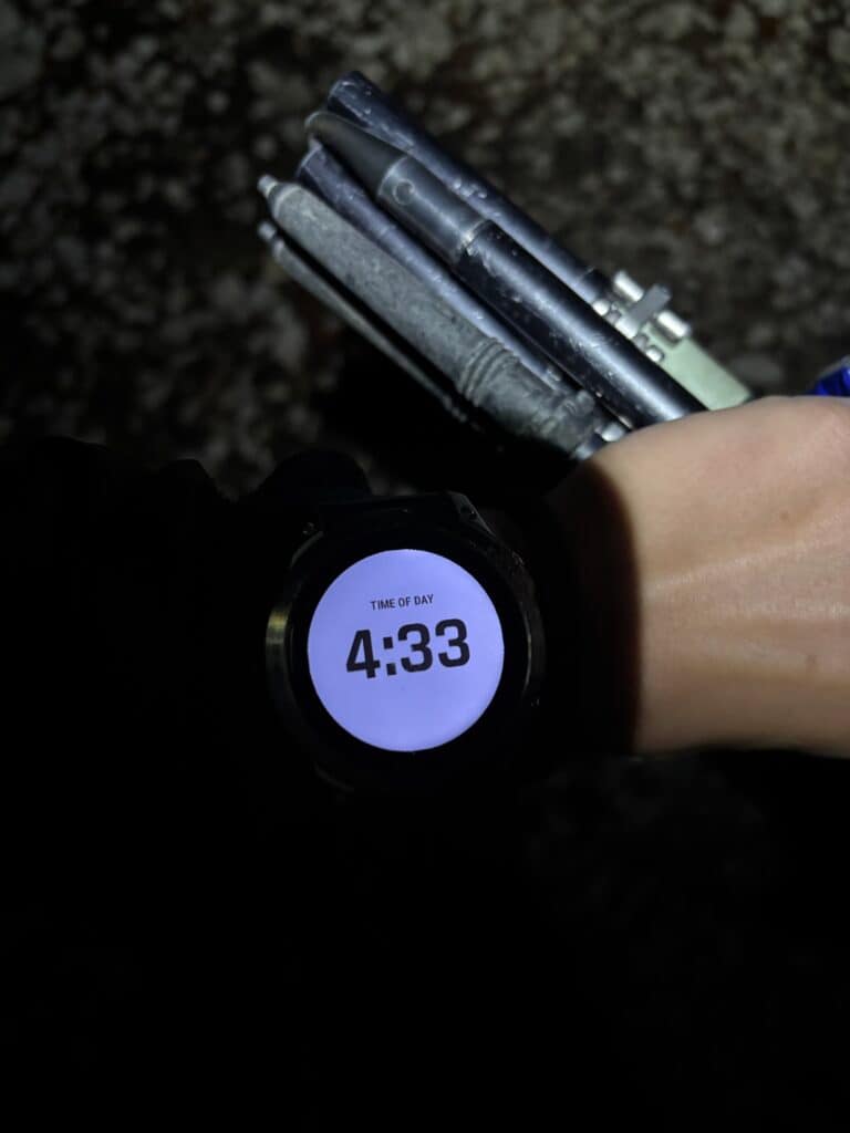
The journey from Mountain View Glamping to the Krma Valley took about half an hour. I woke up at 3:00 AM and drove to the trailhead for an early start. (If you don’t have a car, buses run to the Krma Valley from early morning too).
The starting point is at the end of the Krma – Triglav road where there is a large parking lot. Even at 4:00 AM, it was already full of cars. The lot isn’t marked on Google Maps but the coordinates are: 46.385708, 13.907319. For navigation, you can simply set it to Dolina Krma.
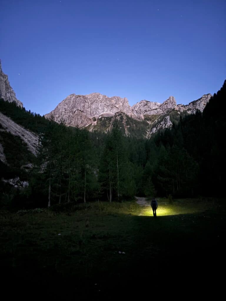
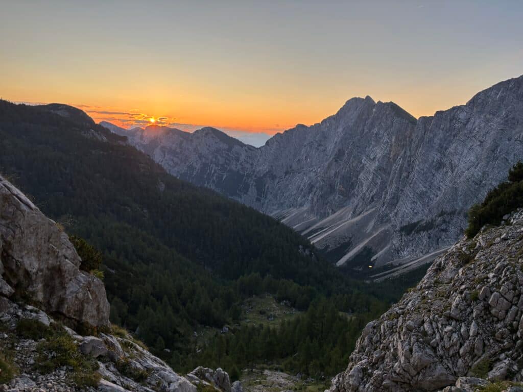
I hit the trail at 4:30 AM. There was only one path to follow. For a long time, I hiked through the forest in total darkness. Occasionally, an owl would hoot and I could hear the distant sounds of other hikers ahead and behind me. By the time it started to get light I had already gained significant elevation and a stunning mountain panorama opened up alongside the rising sun.
The path is easy – occasionally you have to scramble over rocks, but there’s nothing technical. The trail is well marked, though I checked my map every now and then because I once accidentally turned onto the wrong path.
Konjsko Pass to Dom Planika Hut
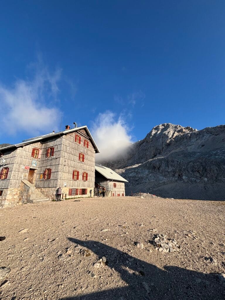
The path from the Krma Valley led me to the Konjsko Pass. Five hiking trails intersect here, connecting various valleys and huts. At this point, depending on your chosen route, you would turn toward either the Triglavski dom na Kredarici or the Dom Planika pod Triglavom hut.
Kredarica is the most popular choice. Dom Planika is a great alternative that helps you avoid the “human highway.” Triglav is an extremely popular mountain, and on a good day—especially summer weekends—crowds of hikers try to summit.
My route turned toward Dom Planika. Here, the path became steeper but was still not difficult. Upon reaching the hut, I stopped for a coffee and a Coke. Deciding to push on, I put on my via ferrata gear and helmet at the hut. To reach the summit, there were two paths: one via Mali Triglav, and the second toward Triglavska škrbina (Gorjanska pot). Both are clearly marked on signs near the hut, so you won’t get lost.
To the Summit – For the 20th Time!
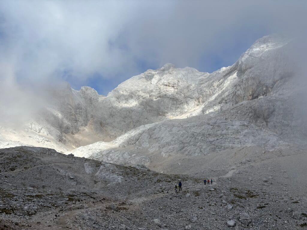
I was debating which way to go when a few Slovenians struck up a conversation. I had seen them climbing the same way as me. They asked about my impressions of the country and my plan for the peak. It turns out these locals were climbing Triglav for their 20th time! They had tried every route and this time intended to go via the Gorjanska Pot through the Triglavska škrbina pass. They said the route was easy and that in previous years, they hadn’t even clipped into the via ferrata cables. This intrigued me, so I decided to take that path. Looking at the wall from a distance, it didn’t look that simple, but views from afar are often deceptive.
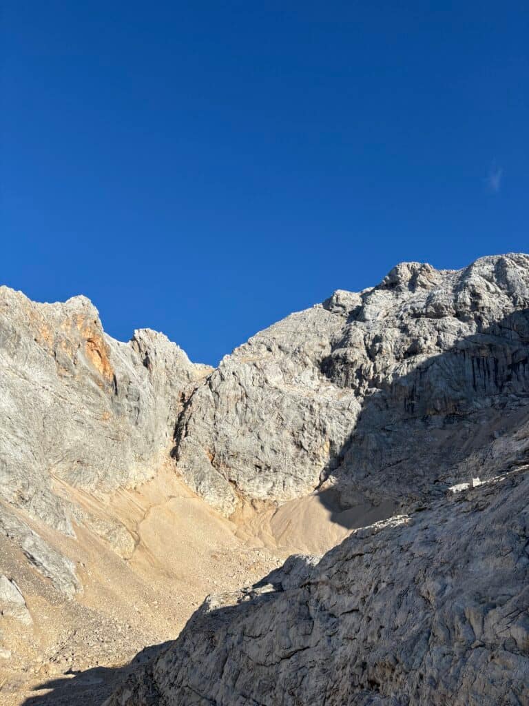
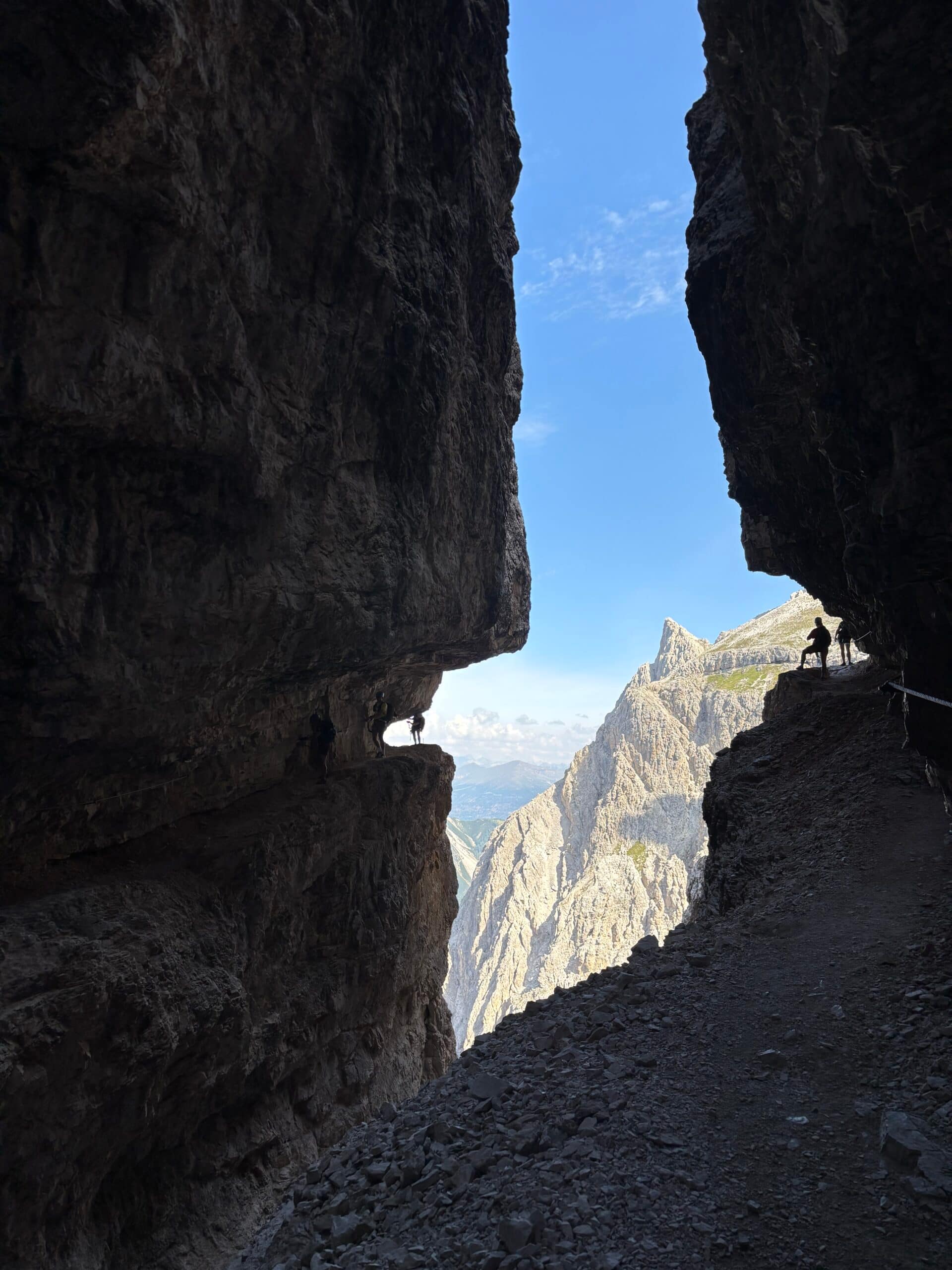
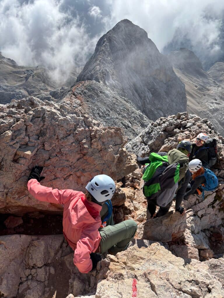
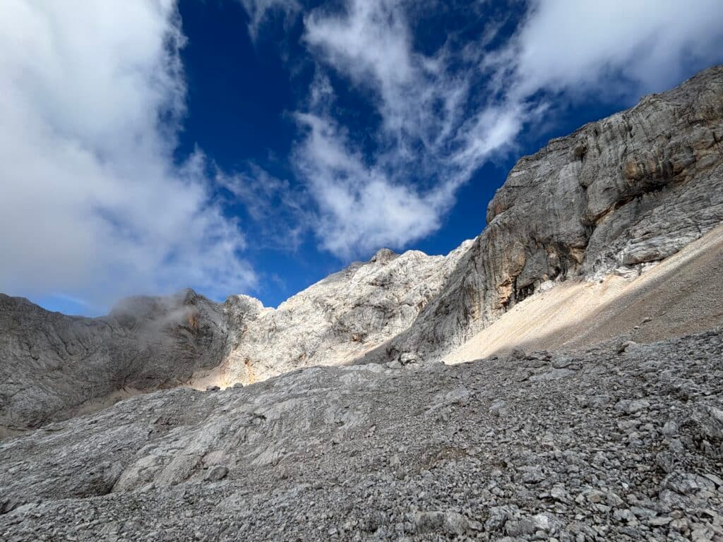
The Gorjanska Pot started on a gravel slope but was fairly easy. Once I reached the rocks, the vertical climbing began. Initially, there were no cable points to clip into—only metal pegs (stems) driven into the rock for handholds. Higher up, the via ferrata section began. The ferrata is not difficult, but the climb is quite exposed, so clipping in made it much more peaceful.
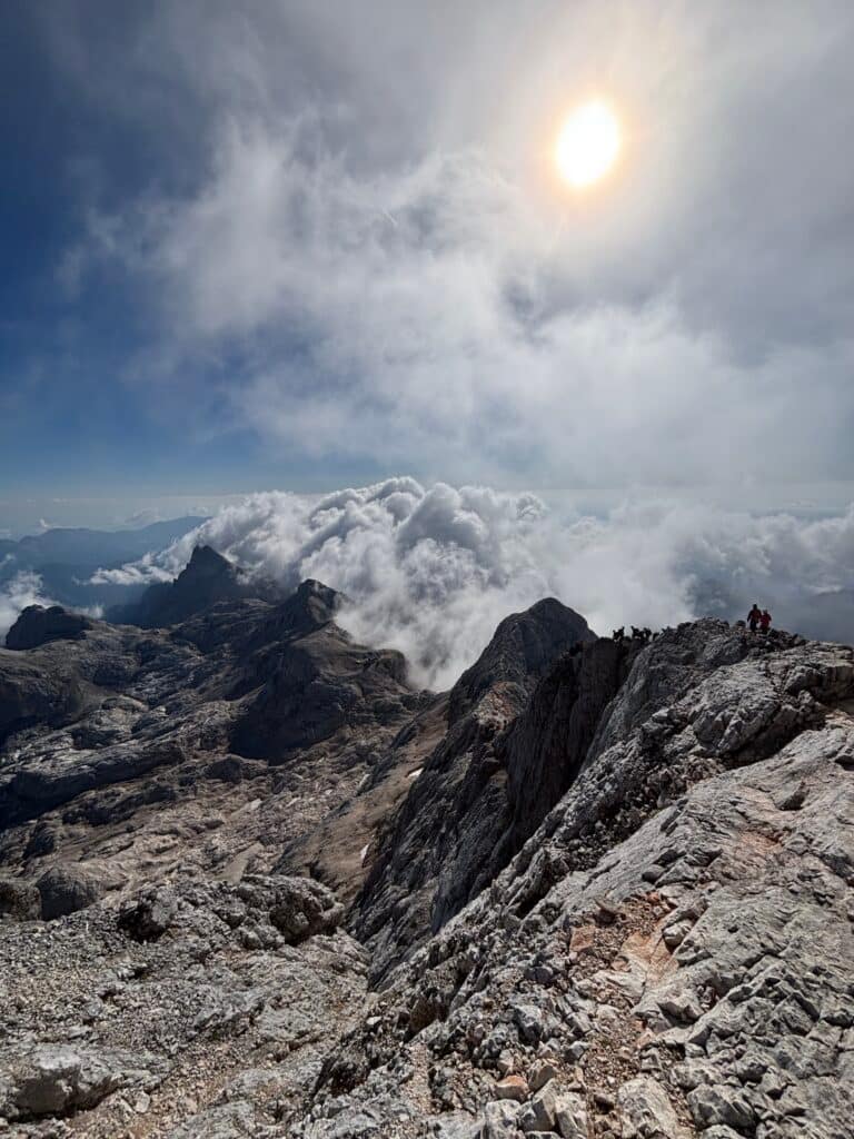
I reached the Triglavska škrbina pass, and from there, the via ferrata continued all the way to the top. In some places, the cables were missing. Even though it was July, the path was slightly icy, so the sections without cables required extra focus.
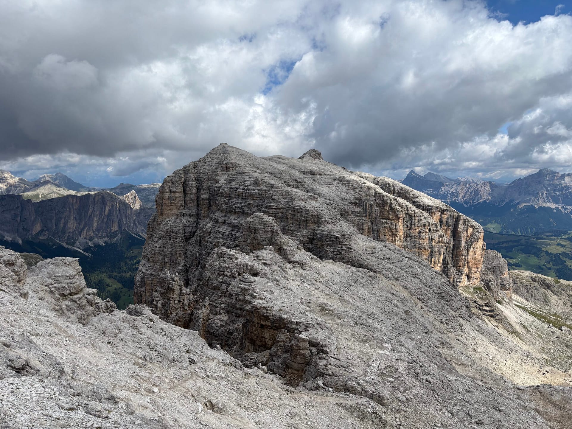
The Summit
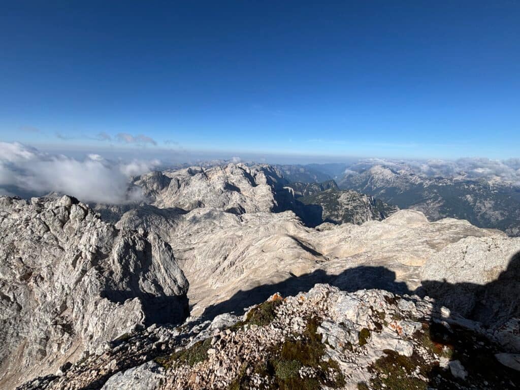
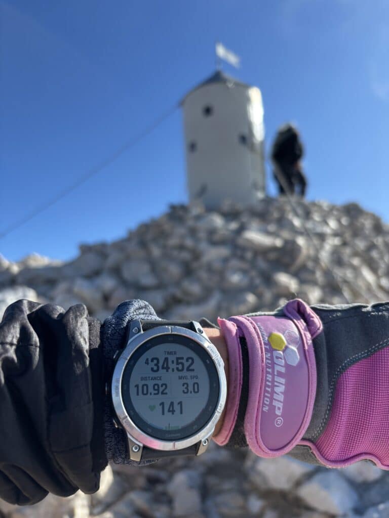
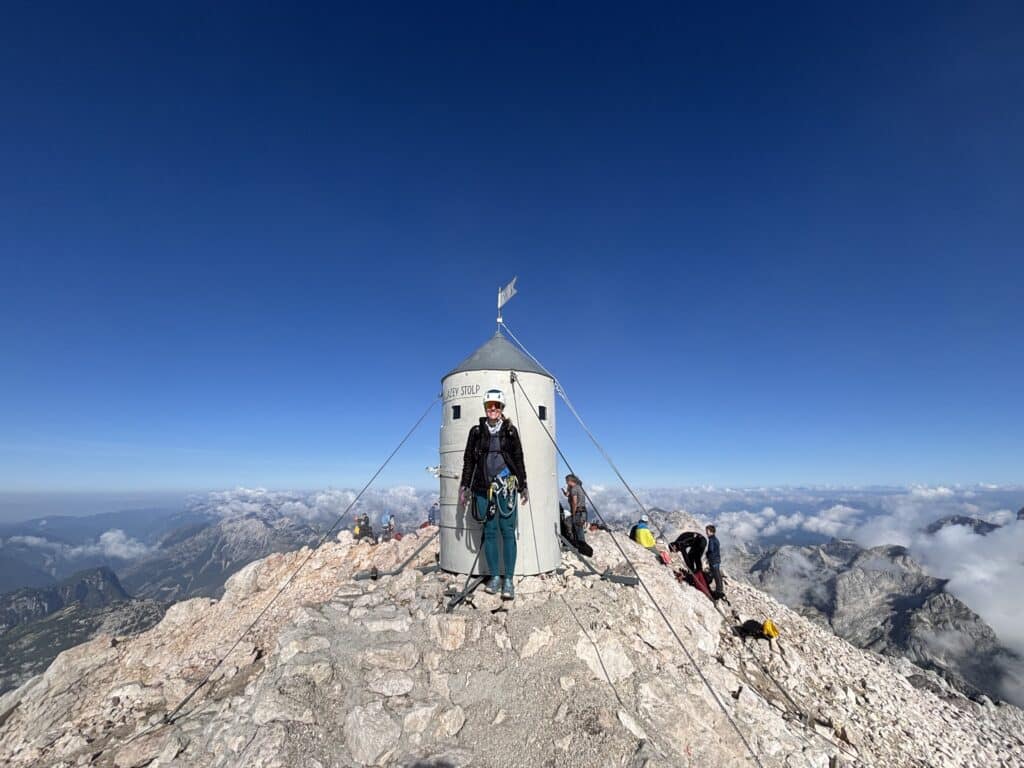
I reached the summit after 4 hours and 30 minutes. The views were magnificent—a 360-degree look at the entire Julian Alps. On the mountain, I saw children putting stamps in little books. I asked them what they were doing, and it turns out there is a stamp station on every Slovenian mountain. It’s a huge thing for kids; they take their books to school to share which peaks they conquered over the weekend.
At the very top of Triglav stands the Aljažev Stolp. This is a storm shelter/tower built in 1895 by priest Jakob Aljaž as a symbol that Triglav belongs to the Slovenians. Later, this shelter was donated to the Slovenian Mountaineering Association.
The Descent
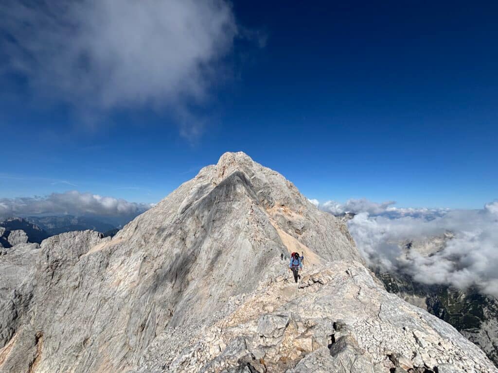
For the way down, I chose the standard route via Mali Triglav. This route is a via ferrata that follows the mountain ridge. The ferrata is very easy (Grade A). Since this is the easiest way to reach the peak, it is packed with people going both up and down. Be prepared for slow movement here. However, this route shows Triglav’s most beautiful side, so it’s popular for a reason.
Once I reached Dom Planika, the way down followed the same trail through the Krma Valley. The path is beautiful, and since I had walked most of it in the dark on the way up, it felt like a fresh experience on the way down.
The entire mission took me 9 hours. After descending I drove back to Mountain View Glamping and walked into town to eat at a cafe I had discovered the day before: Restaurant pr’ Železn’k. Food was delicious and it was plenty for restoring energy in this whole day hike.
How many times have you climbed Triglav? Share in the comments below!
On Life and Mountains